| ©The Archaeological Settlements of Turkey - TAY Project | ||||||
|
|
||||||
Sultan Tepe |
||||||
|
|
||||||
| Ages | Maps | Photos | ||||
| Chalcolithic IA |
 |
 |
||||
|
|
||||||
|
Type:
|
Mound | |||||
|
Altitude:
|
100 m | |||||
|
Diameter:
|
m- Direction: | |||||
|
|
||||||
|
Region:
|
Mediterranean | |||||
|
Province:
|
Osmaniye | |||||
|
District:
|
Toprakkale | |||||
|
Village:
|
Tüysüz | |||||
|
|
||||||
|
Destruction :
|
Contemporary Settlements | |||||
|
|
||||||
|
TAYEx:
|
Visited - 1/8/2001 | |||||
|
|
||||||
|
Registration State:
|
For detailed registration information please refer to Turkish pages. | |||||
 |
||||||
| Location: |
| Geography and Environment: |
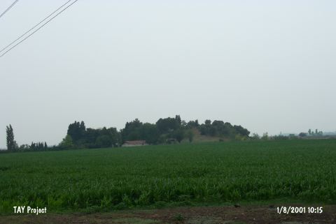
| Destruction Details: The mound has been damaged due to illicit diggings; the farm and the trees on southern slope and due to cultivation on the skirts [TAYEx 1.8.2001]. |