|
©The Archaeological Settlements of Turkey - TAY Project
|
|
|
|
|
|
Sultan Tepe |
|
|
For site maps and drawings please click on the picture...  |
For photographs please click on the photo... 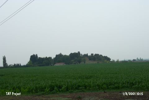 |
|
Type:
|
Mound |
|
Altitude:
|
100 m |
|
Region:
|
Mediterranean |
|
Province:
|
Osmaniye |
|
District:
|
Toprakkale |
|
Village:
|
Tüysüz |
|
Investigation Method:
|
Survey |
|
Period:
|
Middle |
|
|
|
 |
|
| The mound lies 1.9 km west of Tüysüz Village; north of Ceyhan-Toprakkale motorway; east of Ceyhan District of Adana Province. It is locally known as Memetlerin Çiftligi (Memet's' Farm). It is a conical mound with a height of 12 m and looks on the slopes of Misis mountain. A small stream runs by below the mound. The late period wall remains on the surface of the mound have led to the thought that it was used as a fortress. It is discovered during the Cilicia Regional Survey conducted by M.V. Seton-Williams in 1951. The surface finds indicate settlement between Late Chalcolithic Age and Roman Period except for EBA. Chalcolithic Age finds consist of Coba ware sherds. |
| Location: |
| Geography and Environment: |
| History: |
| Research and Excavation: |
| Stratigraphy: |
| Small Finds: |
| Remains: |
| Interpretation and Dating: |