| ©The Archaeological Settlements of Turkey - TAY Project | ||||||
|
|
||||||
Samsat |
||||||
|
|
||||||
| Ages | Maps | Photos | ||||
| Chalcolithic EBA IA |
 |
 |
||||
|
|
||||||
|
Type:
|
Mound | |||||
|
Altitude:
|
425 m | |||||
|
Diameter:
|
m- Direction: | |||||
|
|
||||||
|
Region:
|
Southeastern Anatolia | |||||
|
Province:
|
Adiyaman | |||||
|
District:
|
Samsat | |||||
|
Village:
|
Samsat | |||||
|
|
||||||
|
Destruction :
|
Dams | |||||
|
|
||||||
|
TAYEx:
|
Not visited - 29/8/2001 | |||||
|
|
||||||
|
Registration State:
|
For detailed registration information please refer to Turkish pages. | |||||
 |
||||||
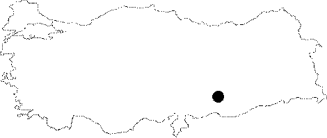
| Location: The site; previous to its inundation by Atatürk Dam; used to lie in Adiyaman; Samsat District; just northeast of the center of the district. It survived as an island for a while after the formation of the dam's water reservoir since it was quite a high mound. The location code is T 51 / 14. |
| Geography and Environment: The mound founded as a settlement on Euphrates' bank; became an inland settlement; 700 m away from the river as a result of the geological oscillations in the river bed; previous to the inundation. The 37-40 m high mound consists of a large mound cone; surrounding terraces; and a lower city; it measures 500x350 m at the base. The mound gets very steep at the east and is sloped at the southwest. It stands upon an elevation of pebble fill as is observed in the sections seeing the river. The east terrace; where the Chalcolithic Age assemblage; is distributed intensely is thought to be the earliest mound. The settlement; known by the names of Samosate; Samosatum; then Semisat and Sumaisat in the Classical Ages; is located at the broadest section of the coastal plain and is therefore at the most advantageous point for crossing over the river. There are numerous fresh water springs at the relatively smooth slopes joining the plain with the plateau. Samsat is a considerable site with such geographical properties; settled in all ages since prehistory until recently. |
| Destruction Details: The site is flooded by dam reservoir today [TAYEx 29.8.2001]. |