| ©The Archaeological Settlements of Turkey - TAY Project | ||||||
|
|
||||||
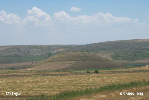
Padisah Tepesi |
||||||
|
|
||||||
| Ages | Maps | Photos | ||||
| EBA IA |
 |
 |
||||
|
|
||||||
|
Type:
|
Mound | |||||
|
Altitude:
|
685 m | |||||
|
Diameter:
|
335 m- Direction: SE-NW | |||||
|
|
||||||
|
Region:
|
Central Anatolia | |||||
|
Province:
|
Çorum | |||||
|
District:
|
Iskilip | |||||
|
Village:
|
Kayaagzi | |||||
|
|
||||||
|
Destruction :
|
Illicit Digging - Agriculture | |||||
|
|
||||||
|
TAYEx:
|
Visited - 17/7/2002 | |||||
|
|
||||||
|
Registration State:
|
For detailed registration information please refer to Turkish pages. | |||||
 |
||||||
| Location: |
| Geography and Environment: |
| Destruction Details: The mound is being damaged by agricultural activities and illicit digging. Planted areas begin from the skirts of the site. There is a cleft in east-west direction with the dimensions of 20x30 m and a depth of 5 m and a pit measuring 3 m in diameter on north-northwest slope [TAYEx 17.7.2002]. |