|
©The Archaeological Settlements of Turkey - TAY Project
|
|
|
|
|
|
Padisah Tepesi |
|
|
For site maps and drawings please click on the picture...  |
For photographs please click on the photo... 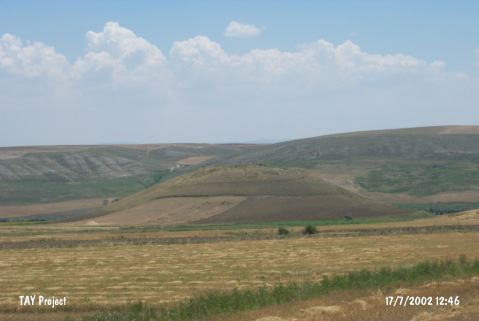 |
|
Type:
|
Mound |
|
Altitude:
|
685 m |
|
Region:
|
Central Anatolia |
|
Province:
|
Çorum |
|
District:
|
Iskilip |
|
Village:
|
Kayaagzi |
|
Investigation Method:
|
Survey |
|
Period:
|
|
|
|
|
 |
|
| It is situated within the boundaries of the Kayaagzi Village in the Iskip District of Çorum. It is on the left side of the Bayat road. It is northwest-southeast oriented, and visible from the main road. The natural elevation measures 300x200 m in dimensions, including the skirts. The mound lies on the hilltop. Sherds dating to the 3rd and 1st Millennia BC were collected from the surface. |
| Location: |
| Geography and Environment: |
| History: |
| Research and Excavation: |
| Stratigraphy: |
| Small Finds: |
| Remains: |
| Interpretation and Dating: |