|
©The Archaeological Settlements of Turkey - TAY Project
|
|
|
|
|
|
Padisah Tepesi |
|
|
For site maps and drawings please click on the picture...  |
For photographs please click on the photo... 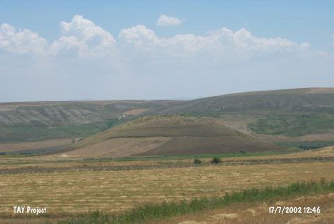 |
|
Type:
|
Mound |
|
Altitude:
|
685 m |
|
Region:
|
Central Anatolia |
|
Province:
|
Çorum |
|
District:
|
Iskilip |
|
Village:
|
Kayaagzi |
|
Investigation Method:
|
Survey |
|
Period:
|
|
|
|
|
 |
|
| It lies 750 m left of the Bayat motorway; 1.7 km south of Kayaagzi Village; west-northwest of Çorum Province. It stands on a big natural hill and measures 300x200 in dimensions. It can be easily seen from far distances. No information is provided about the distribution area of the pottery and the thickness of cultural deposits. During the Survey of Çorum Province conducted under T. Sipahi and T. Yildirim in 1996; pottery dating from the third and first millennia BC was collected from the surface. |
| Location: |
| Geography and Environment: |
| History: |
| Research and Excavation: |
| Stratigraphy: |
| Small Finds: |
| Remains: |
| Interpretation and Dating: |