| ©The Archaeological Settlements of Turkey - TAY Project | ||||||
|
|
||||||
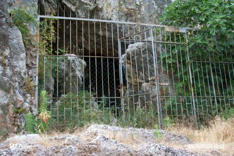
Öküzini Magarasi |
||||||
|
|
||||||
| Ages | Maps | Photos | ||||
| Palaeolithic/Epipalaeolithic Neolithic EBA 14C |
 |
 |
||||
|
|
||||||
|
Type:
|
Cave | |||||
|
Altitude:
|
250 m | |||||
|
Diameter:
|
m- Direction: | |||||
|
|
||||||
|
Region:
|
Mediterranean | |||||
|
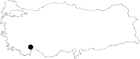
Province:
|
Antalya | |||||
|
District:
|
Merkez | |||||
|
Village:
|
Yagca | |||||
|
|
||||||
|
|
||||||
|
|
||||||
|
TAYEx:
|
Visited - 20/6/2001 | |||||
|
|
||||||
|
Registration State:
|
Registered For detailed registration information please refer to Turkish pages. | |||||
 |
||||||
| Location: The cave-site lies 32 km northwest of the city of Antalya; north of the village of Yagca; 1.5 km north-northeast of Karain Cave. The site is very close to the old Antalya-Burdur highway passes. The survey code of the site is 19 V / 2. |
| Geography and Environment: The mouth of the cave; which lies 4-5 m above the travertine in front of it; faces east-northeast. There is another cavity beyond the 23.5 m long main cavity. The cave is roughly triangular in shape. The mouth of the cave is 25 m wide [Harmankaya-Tanindi 1996: Öküzini]. |
| Destruction Details: |