|
©The Archaeological Settlements of Turkey - TAY Project
|
|
|
|
|
|
Öküzini Magarasi |
|
|
For site maps and drawings please click on the picture... 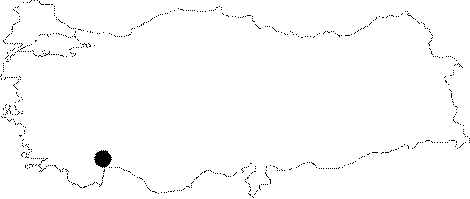 |
For photographs please click on the photo... 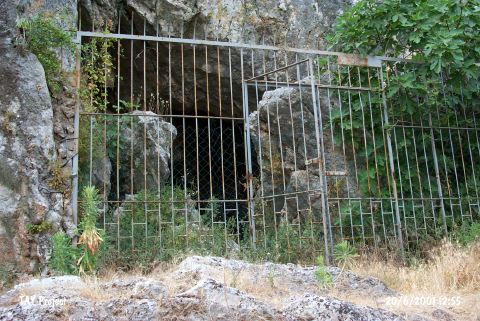 |
|
Type:
|
Cave |
|
Altitude:
|
250 m |
|
Region:
|
Mediterranean |
|
Province:
|
Antalya |
|
District:
|
Merkez |
|
Village:
|
Yagca |
|
Investigation Method:
|
Excavation |
|
Period:
|
|
|
|
|
 |
|
| It lies about 1.5 km north-northeast of the Karain Cave; north of Yagça Village; about 32 km northwest of Antalya Province. During the excavations carried out by K. Kökten and I. Yalçinkaya (See Harmankaya-Tanindi 1996: Öküzini); presence of sherds dating from the Copper Age was reported without any further detail. It takes place in the registered archaeological sites list prepared by Ministry of Culture and Tourism. |
| Location: The cave-site lies 32 km northwest of the city of Antalya; north of the village of Yagca; 1.5 km north-northeast of Karain Cave. The site is very close to the old Antalya-Burdur highway passes. The survey code of the site is 19 V / 2. |
| Geography and Environment: The mouth of the cave; which lies 4-5 m above the travertine in front of it; faces east-northeast. There is another cavity beyond the 23.5 m long main cavity. The cave is roughly triangular in shape. The mouth of the cave is 25 m wide [Harmankaya-Tanindi 1996: Öküzini]. |
| History: |
| Research and Excavation: |
| Stratigraphy: |
| Small Finds: |
| Remains: |
| Interpretation and Dating: |