| ©The Archaeological Settlements of Turkey - TAY Project | ||||||
|
|
||||||
Asarcik Höyük / Ilica |
||||||
|
|
||||||
| Ages | Maps | Photos | ||||
| EBA IA |
 |
 |
||||
|
|
||||||
|
Type:
|
Mound | |||||
|
Altitude:
|
770 m | |||||
|
Diameter:
|
155 m- Direction: NW-SE | |||||
|
|
||||||
|
Region:
|
Central Anatolia | |||||
|
Province:
|
Ankara | |||||
|
District:
|
Ayas | |||||
|
Village:
|
Ilica | |||||
|
|
||||||
|
|
||||||
|
|
||||||
|
TAYEx:
|
Visited - 7/7/2002 | |||||
|
|
||||||
|
Registration State:
|
Registered For detailed registration information please refer to Turkish pages. | |||||
 |
||||||
| Location: It lies northeast of the Ilica Village; 9;5 km from northwest of the Ayas District; west of the Ankara Province. The Güdül - Ankara motorway is on the west of the village. |
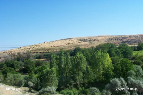
| Geography and Environment: The northern part of the mound located on a basalt hill elevated by the accumulation of settlements [Orthmann 1966:plan I] faces the steep and abrupt valley of the Ilica Suyu. Asarcik Höyük is somewhat different than the other settlements since it is located between the two streams. The southern part is not as steep as the northern part. The stream of Ilica Suyu on the north; originating from the Kizilcabayir Dagi; presumably supplied water to the inhabitants [Kökten 1947:442]. |
| Destruction Details: |