| ©The Archaeological Settlements of Turkey - TAY Project | ||||||
|
|
||||||
Arisk Tepe |
||||||
|
|
||||||
| Ages | Maps | Photos | ||||
| Chalcolithic EBA |
 |
 |
||||
|
|
||||||
|
Type:
|
Mound | |||||
|
Altitude:
|
560 m | |||||
|
Diameter:
|
m- Direction: | |||||
|
|
||||||
|
Region:
|
Southeastern Anatolia | |||||
|
Province:
|
Batman | |||||
|
District:
|
Besiri | |||||
|
Village:
|
Ikiköprü | |||||
|
|
||||||
|
Destruction :
|
Illicit Digging - Contemporary Settlements - Highways, roads, bridges etc. - Attention | |||||
|
|
||||||
|
TAYEx:
|
Visited - 14/9/2001 | |||||
|
|
||||||
|
Registration State:
|
For detailed registration information please refer to Turkish pages. | |||||
 |
||||||
| Location: |
| Geography and Environment: |
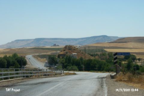
| Destruction Details: The east half of the mound has been cut by motorway. Soil taken from northeast skirt and built a transformer. There is a high voltage power tower on mound and lots of pits made by illicit diggers. The restaurant beside the motorway start from the skirts of the mound [TAYEx 14.9.2001]. |