|
©The Archaeological Settlements of Turkey - TAY Project
|
|
|
|
|
|
Arisk Tepe |
|
|
For site maps and drawings please click on the picture...  |
For photographs please click on the photo... 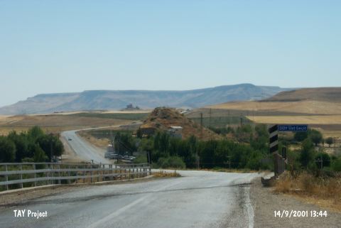 |
|
Type:
|
Mound |
|
Altitude:
|
560 m |
|
Region:
|
Southeastern Anatolia |
|
Province:
|
Batman |
|
District:
|
Besiri |
|
Village:
|
Ikiköprü |
|
Investigation Method:
|
Survey |
|
Period:
|
|
|
|
|
 |
|
| It lies 1 km southwest of the Ariski Quarter; 5 km northeast of Besiri District; northeast of Batman Province. It was discovered by P. Benedict in 1963 during the Prehistoric Survey of Southeastern Anatolia under code number S 62 /2. It measures 15 m in height and 100x50 m in dimensions. It yielded the pottery of EBA. The damage caused by the road passing nearby has resulted in some sections. |
| Location: |
| Geography and Environment: |
| History: |
| Research and Excavation: |
| Stratigraphy: |
| Small Finds: |
| Remains: |
| Interpretation and Dating: |