|
©The Archaeological Settlements of Turkey - TAY Project
|
|
|
|
|
|
Arisk Tepe |
|
|
For site maps and drawings please click on the picture...  |
For photographs please click on the photo... 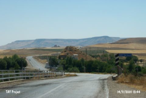 |
|
Type:
|
Mound |
|
Altitude:
|
560 m |
|
Region:
|
Southeastern Anatolia |
|
Province:
|
Batman |
|
District:
|
Besiri |
|
Village:
|
Ikiköprü |
|
Investigation Method:
|
Survey |
|
Period:
|
Middle |
|
|
|
 |
|
| 15 m high mound lies 20 km northeast of Batman; 3.5 km southwest of the village of Ikiköprü (Aviski). The south section of the mound is cut up to 2-4 m by the road from Ariski to Hicri. Garzan stream runs west of the site. The base diameter of the mound is 100 m and the cone diameter measures 40-50 m. The site was discovered in 1963 during the joint project conducted by the University of Istanbul and the Chicago Oriental Institute. The location code is S 62 / 2. |
| Location: |
| Geography and Environment: |
| History: |
| Research and Excavation: |
| Stratigraphy: |
| Small Finds: |
| Remains: |
| Interpretation and Dating: |