| ©The Archaeological Settlements of Turkey - TAY Project | ||||||
|
|
||||||
Kusura |
||||||
|
|
||||||
| Ages | Maps | Photos | ||||
| EBA |
 |
 |
||||
|
|
||||||
|
Type:
|
Mound and Cemetery | |||||
|
Altitude:
|
1080 m | |||||
|
Diameter:
|
m- Direction: | |||||
|
|
||||||
|
Region:
|
Aegean | |||||
|
Province:
|
Afyonkarahisar | |||||
|
District:
|
Sandikli | |||||
|
Village:
|
Dogansu | |||||
|
|
||||||
|
Destruction :
|
Contemporary Settlements - Attention | |||||
|
|
||||||
|
TAYEx:
|
Visited - 4/10/2000 | |||||
|
|
||||||
|
Registration State:
|
Registered For detailed registration information please refer to Turkish pages. | |||||
 |
||||||
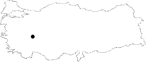
| Location: It is to the west of the village it was named after; about 12 km south of the Sandikli District; 55 km southwest of the Afyonkarahisar Province. |
| Geography and Environment: It is one of the medium sized mounds of the fertile Sandikli Plain. It measures 14 m in height and 400 m in diameter. Trench opened under the northern section revealed that the cultural deposit goes down 1.5 m deeper. Almost all northern side of the mound has been destroyed by the local villagers to remove clay soil. This removal; in turn; resulted in a section lengthwise. It is claimed by W. Lamb that the first inhabitants of this site (Layer A) chose to be settled on a rocky hill of ca. 4 m because the area was a swamp. To the north lie arable fields and a channel. Cemetery; reported belonging to Layer A; is located in the area in front of the school building; which was used as excavation house during the excavations; on a ridge next to the channel on the northern part of the mound. Although; the ridge looks like a sharp one when you look down from the mound; it extends to the north with a soft inclination. |
| Destruction Details: The mound; which was excavated in 1930's; has been severely damaged at the present. Houses were built on its eastern section and a wall was constructed to its south. Its southeastern skirt was terraced to make way for fields. On its northern section is a split and on the flat area next to it is a place for paving stone production [TAYEx 4.10.2000]. |