| ©The Archaeological Settlements of Turkey - TAY Project | ||||||
|
|
||||||
Kizçiftligi / Trikopi Çiftlik |
||||||
|
|
||||||
| Ages | Maps | Photos | ||||
| EBA IA |
 |
 |
||||
|
|
||||||
|
Type:
|
Mound | |||||
|
Altitude:
|
30 m | |||||
|
Diameter:
|
m- Direction: | |||||
|
|
||||||
|
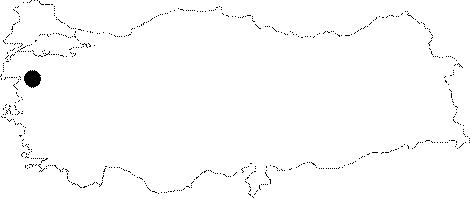
Region:
|
Marmara | |||||
|
Province:
|
Balikesir | |||||
|
District:
|
Gömeç | |||||
|
Village:
|
Merkez | |||||
|
|
||||||
|
Destruction :
|
Contemporary Settlements - Attention | |||||
|
|
||||||
|
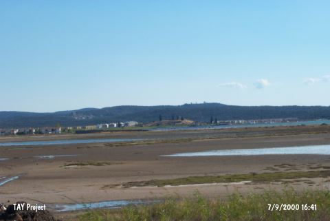
TAYEx:
|
Visited - 7/9/2000 | |||||
|
|
||||||
|
Registration State:
|
For detailed registration information please refer to Turkish pages. | |||||
 |
||||||
| Location: |
| Geography and Environment: |
| Destruction Details: Summer houses have been built on the eastern and southern sections of the mound [TAYEx 7.9.2000]. The field was destroyed by an arson in September 2007 [Contribution by: Senan Erkmen]. |