|
©The Archaeological Settlements of Turkey - TAY Project
|
|
|
|
|
|
Kizçiftligi / Trikopi Çiftlik |
|
|
For site maps and drawings please click on the picture... 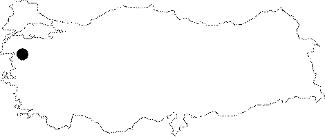 |
For photographs please click on the photo... 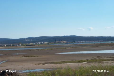 |
|
Type:
|
Mound |
|
Altitude:
|
30 m |
|
Region:
|
Marmara |
|
Province:
|
Balikesir |
|
District:
|
Gömeç |
|
Village:
|
Merkez |
|
Investigation Method:
|
Survey |
|
Period:
|
|
|
|
|
 |
|
| It lies in the middle of a bay which can not be seen from the open sea. It is very close to the shore; 3 km west of Gömeç (Armudova) District between Ayvalik and Burhaniye; west-southwest of Balikesir Province. It is suggested that the site was a small peninsula during the period it was first inhabited. The western and southern slopes have been destroyed by the summer houses. A farm house called Trikopi rises on it. It was introduced as a second millennium BC settlement by D.H. French. Sherds datable to a range from the Chalcolithic Age to the Early Byzantine Period were collected from the surface by E. Beksaç; an art historian in 1997. |
| Location: |
| Geography and Environment: |
| History: |
| Research and Excavation: |
| Stratigraphy: |
| Small Finds: |
| Remains: |
| Interpretation and Dating: |