| ©The Archaeological Settlements of Turkey - TAY Project | ||||||
|
|
||||||
Kazanli |
||||||
|
|
||||||
| Ages | Maps | Photos | ||||
| EBA IA |
 |
 |
||||
|
|
||||||
|
Type:
|
Mound | |||||
|
Altitude:
|
160 m | |||||
|
Diameter:
|
m- Direction: | |||||
|
|
||||||
|
Region:
|
Mediterranean | |||||
|
Province:
|
Mersin | |||||
|
District:
|
Merkez | |||||
|
Village:
|
Kazanli | |||||
|
|
||||||
|
Destruction :
|
Contemporary Settlements - Attention | |||||
|
|
||||||
|
TAYEx:
|
Visited - 14/7/2001 | |||||
|
|
||||||
|
Registration State:
|
Registered For detailed registration information please refer to Turkish pages. | |||||
 |
||||||
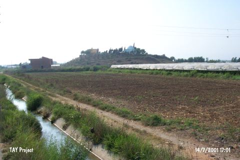
| Location: |
| Geography and Environment: |
| Destruction Details: There is a tomb and are several graves on leveled top hill. The other causes of destruction are dirt road around the hill; house on southwest slope; cultivated area and the soil removed section on northeast skirt [TAYEx 14.7.2001]. |