|
©The Archaeological Settlements of Turkey - TAY Project
|
|
|
|
|
|
Kazanli |
|
|
For site maps and drawings please click on the picture...  |
For photographs please click on the photo... 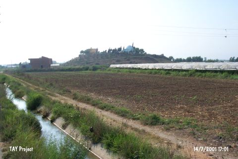 |
|
Type:
|
Mound |
|
Altitude:
|
160 m |
|
Region:
|
Mediterranean |
|
Province:
|
Mersin |
|
District:
|
Merkez |
|
Village:
|
Kazanli |
|
Investigation Method:
|
Excavation |
|
Period:
|
|
|
|
|
 |
|
| It is close to the Mediterranean Coast (2 km); northwest Kazanli; 1.7 km southwest of the Kazanli junction on Mersin-Tarsus motorway; 7 km east of Mersin Province. It is 15 m high. On the top hill; there is a lowland of 50 m in diameter. The foothill was excavated by the Neilson Survey team in 1937. The EBA level was not reached during the excavation. It was revealed that the site had been inhabited more or less continuously from the EBA to the Iron Age. It became particularly significant when the Mycaen ware was recovered. It was visited by M.V. Seton-Williams in 1951. It is included in the metallic ware distribution area of EBA by J. Mellaart. It takes place in the registered archaeological sites list prepared by Ministry of Culture and Tourism. |
| Location: |
| Geography and Environment: |
| History: |
| Research and Excavation: |
| Stratigraphy: |
| Small Finds: |
| Remains: |
| Interpretation and Dating: |