|
©The Archaeological Settlements of Turkey - TAY Project
|
|
|
|
|
|
Kazanli |
|
|
For site maps and drawings please click on the picture...  |
For photographs please click on the photo... 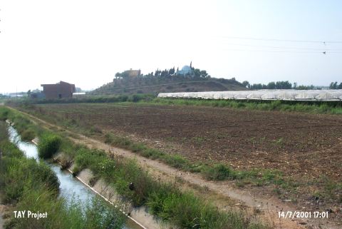 |
|
Type:
|
Mound |
|
Altitude:
|
160 m |
|
Region:
|
Mediterranean |
|
Province:
|
Mersin |
|
District:
|
Merkez |
|
Village:
|
Kazanli |
|
Investigation Method:
|
Excavation |
|
Period:
|
|
|
|
|
 |
|
| It is situated 1.7 km southwest of the Kazanli intersection on the Tarsus road, 7 km northeast of Mersin. It is approximately 2 km from the Mediterranean shore. It is a 15 m high hill with a small plain ground of 50 m in diameter on the hilltop. It was excavated by Neilson et al. in 1937. The excavation was performed on the slope of the mound. It appears that the EBA level was not reached during the excavation. It had been inhabited uninterruptedly between the EBA and the Iron Age, and became particularly significant after recovery of Mycenaean artifacts. It was visited by M.V. Seton-Williams in 1951 [Seton-Williams 1954:160-78]. It takes place in the registered archaeological sites list prepared by Ministry of Culture and Tourism. |
| Location: |
| Geography and Environment: |
| History: |
| Research and Excavation: |
| Stratigraphy: |
| Small Finds: |
| Remains: |
| Interpretation and Dating: |