| ©The Archaeological Settlements of Turkey - TAY Project | ||||||
|
|
||||||
Altintepe |
||||||
|
|
||||||
| Ages | Maps | Photos | ||||
| Chalcolithic EBA |
 |
 |
||||
|
|
||||||
|
Type:
|
Mound | |||||
|
Altitude:
|
860 m | |||||
|
Diameter:
|
m- Direction: | |||||
|
|
||||||
|
Region:
|
Eastern Anatolia | |||||
|
Province:
|
Elazig | |||||
|
District:
|
Merkez | |||||
|
Village:
|
Degirmenönü | |||||
|
|
||||||
|
Destruction :
|
Agriculture - Illicit Digging | |||||
|
|
||||||
|
TAYEx:
|
Visited - 15/7/2003 | |||||
|
|
||||||
|
Registration State:
|
For detailed registration information please refer to Turkish pages. | |||||
 |
||||||
| Location: |
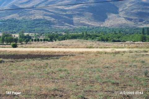
| Geography and Environment: |
| Destruction Details: The site has been damaged by agricultural activities and illicit diggings. The fields starting from skirts encircles the mound. There is a covered pit on north-northwest corner [TAYEx 15.7.2003]. |