| ©The Archaeological Settlements of Turkey - TAY Project | ||||||
|
|
||||||
Mylasa |
||||||
|
|
||||||
| Ages | Maps | Photos | ||||
| IA Greek-Roman |
 |
 |
||||
|
|
||||||
|
Type:
|
City | |||||
|
Altitude:
|
m | |||||
|
Diameter:
|
m- Direction: | |||||
|
|
||||||
|
Region:
|
Aegean | |||||
|
Province:
|
Mugla | |||||
|
District:
|
Milas | |||||
|
Village:
|
Merkez | |||||
|
|
||||||
|
|
||||||
|
|
||||||
|
TAYEx:
|
- | |||||
|
|
||||||
|
Registration State:
|
Registered For detailed registration information please refer to Turkish pages. | |||||
 |
||||||
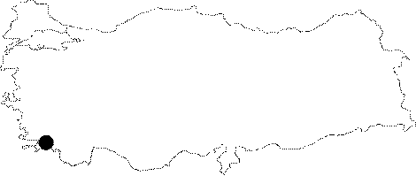
| Location: It is located on the Becin rocks; 5 km south of the Milas District of the Mugla Province [Bean 2000:16-17]. The city was founded on a rocky land at the skirts of the Sodra mountain; and then enlarged toward the plain over time [Akarca 1954:76]. |
| Geography and Environment: The city was founded among four hills to the east of a 560 m high mountain and on a plain ground stretching in front of this mountain. The internal plain surrounded by mountains has an altitude of approximately 48 m; which might have facilitated the defense of the city [Akarca 1971:29-30]. |
| Destruction Details: |