|
©The Archaeological Settlements of Turkey - TAY Project
|
|
|
|
|
|
Mylasa |
|
|
For site maps and drawings please click on the picture... 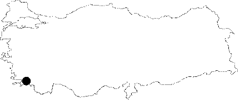 |
For photographs please click on the photo...  |
|
Type:
|
City |
|
Altitude:
|
m |
|
Region:
|
Aegean |
|
Province:
|
Mugla |
|
District:
|
Milas |
|
Village:
|
Merkez |
|
Investigation Method:
|
Excavation |
|
Period:
|
|
|
|
|
 |
|
| It is a settlement situated 20 km from the seashore to the north of the Milas District in Mugla. The traveller Wheler et al. visited the city in the 17th century and drew an illustration of the sanctuary [Küçükeren 2005:89]. Mitchell dated a corner acroterium to ca. 400 BC. F. Rumscheid found shelters that surrounded the Milas Plain dating to the 5th and 4th centuries and some Lelegian walls and finds on the Sofra Mountian dating to the 7th and 6th centuries BC [Mitchell 1998:157]. A Late Geometric Period altar was found in the Sinurie Sanctuary at Kalin Agil. C. Özgünel dated the oinochoe, crater, skyphos, kotyle and amphoriskos type of sherds found at Milas to 730-680 BC [Özgünel 2006:39]. |
| Location: It is located on the Becin rocks; 5 km south of the Milas District of the Mugla Province [Bean 2000:16-17]. The city was founded on a rocky land at the skirts of the Sodra mountain; and then enlarged toward the plain over time [Akarca 1954:76]. |
| Geography and Environment: The city was founded among four hills to the east of a 560 m high mountain and on a plain ground stretching in front of this mountain. The internal plain surrounded by mountains has an altitude of approximately 48 m; which might have facilitated the defense of the city [Akarca 1971:29-30]. |
| History: |
| Research and Excavation: |
| Stratigraphy: |
| Small Finds: |
| Remains: |
| Interpretation and Dating: |