| ©The Archaeological Settlements of Turkey - TAY Project | ||||||
|
|
||||||
Karamusa |
||||||
|
|
||||||
| Ages | Maps | Photos | ||||
| Neolithic Chalcolithic EBA |
 |
 |
||||
|
|
||||||
|
Type:
|
Mound | |||||
|
Altitude:
|
1320 m | |||||
|
Diameter:
|
m- Direction: | |||||
|
|
||||||
|
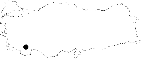
Region:
|
Mediterranean | |||||
|
Province:
|
Burdur | |||||
|
District:
|
Tefenni | |||||
|
Village:
|
Karamusa | |||||
|
|
||||||
|
Destruction :
|
Agriculture | |||||
|
|
||||||
|
TAYEx:
|
Visited - 14/6/2001 | |||||
|
|
||||||
|
Registration State:
|
Registered For detailed registration information please refer to Turkish pages. | |||||
 |
||||||
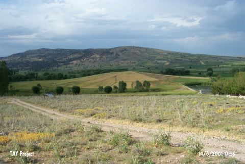
| Location: It lies approximately 200 m north of Baspinar-Çavdir road; northwest of Baspinar Village; 2 km southeast of Karamusa Village; south-southeast of Tefenni District of Burdur. Immediate east of the site there is a well spring called Kirkgöz. |
| Geography and Environment: This mound; discovered by M. Özsait; is continually eroding. The mound lies beside the spring at the northern skirts of 1;666 m high Mount Düvenkaya. The current height of the mound is 5 m Özsait notes that there was continuous habitation at the site from the Late Neolithic Period on through to the Iron Age. In the photography published with the survey report; the mound appears to be small and flat looking. |
| Destruction Details: The mound is being damaged due to agricultural activities. It is cultivated and probably has lost its height because of plowing [TAYEx 14.6.2001]. |