| ©The Archaeological Settlements of Turkey - TAY Project | ||||||
|
|
||||||
Karahöyük |
||||||
|
|
||||||
| Ages | Maps | Photos | ||||
| EBA IA |
 |
 |
||||
|
|
||||||
|
Type:
|
Mound | |||||
|
Altitude:
|
1100 m | |||||
|
Diameter:
|
270 m- Direction: N-S | |||||
|
|
||||||
|
Region:
|
Central Anatolia | |||||
|
Province:
|
Konya | |||||
|
District:
|
Akören | |||||
|
Village:
|
Karahöyük | |||||
|
|
||||||
|
Destruction :
|
Contemporary Settlements - Highways, roads, bridges etc. | |||||
|
|
||||||
|
TAYEx:
|
Visited - 30/8/2002 | |||||
|
|
||||||
|
Registration State:
|
Registered For detailed registration information please refer to Turkish pages. | |||||
 |
||||||
| Location: |
| Geography and Environment: |
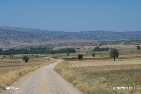
| Destruction Details: Large amount of soil has been taken from the skirts of the mound. The western part is cemetery and surrounded by a wall. A dirt road passes over south-southeast slope. A pit of illicit digging observed at the site [TAYEx 30.8.2002]. |