|
©The Archaeological Settlements of Turkey - TAY Project
|
|
|
|
|
|
Karahöyük |
|
|
For site maps and drawings please click on the picture...  |
For photographs please click on the photo... 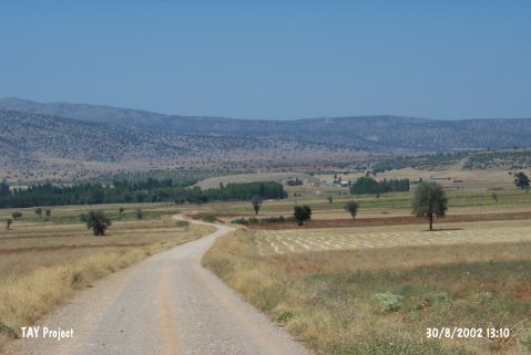 |
|
Type:
|
Mound |
|
Altitude:
|
1100 m |
|
Region:
|
Central Anatolia |
|
Province:
|
Konya |
|
District:
|
Akören |
|
Village:
|
Karahöyük |
|
Investigation Method:
|
Survey |
|
Period:
|
Middle Iron Age Late Iron Age |
|
|
|
 |
|
| It is situated in the Karahöyük Village, 5 km east of the Akören District in Konya. It measures 300x250x35 m in dimensions. It was discovered by Mellart in the 1950s. Due to the continuous soil removal by the villagers, it has been slowly demolishing, resulting in 1/10th being exhausted. One third of the mound is being used as cemetery of the village. Pottery finds include EBA, 2nd Millennium BC, Iron Age, Hellenistic and Roman Period ware. There is an ancient grave stele of 110x64 cm on the outer surface of the western wall of the cemetery. The Iron Age sherds belong to the Middle and Late Iron Age. It takes place in the registered archaeological sites list prepared by Ministry of Culture and Tourism. |
| Location: |
| Geography and Environment: |
| History: |
| Research and Excavation: |
| Stratigraphy: |
| Small Finds: |
| Remains: |
| Interpretation and Dating: |