| ©The Archaeological Settlements of Turkey - TAY Project | ||||||
|
|
||||||
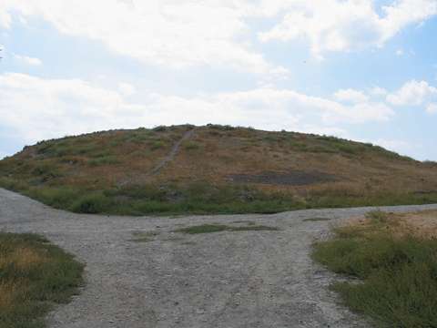
Alevi Tepe / Kümbettepe |
||||||
|
|
||||||
| Ages | Maps | Photos | ||||
| EBA IA |
 |
 |
||||
|
|
||||||
|
Type:
|
Mound | |||||
|
Altitude:
|
535 m | |||||
|
Diameter:
|
m- Direction: | |||||
|
|
||||||
|
Region:
|
Black Sea | |||||
|
Province:
|
Amasya | |||||
|
District:
|
Suluova | |||||
|
Village:
|
Merkez | |||||
|
|
||||||
|
Destruction :
|
Illicit Digging - Contemporary Settlements - Highways, roads, bridges etc. - Attention | |||||
|
|
||||||
|
TAYEx:
|
Visited - 23/8/2003 | |||||
|
|
||||||
|
Registration State:
|
Registered For detailed registration information please refer to Turkish pages. | |||||
 |
||||||
| Location: |
| Geography and Environment: |
| Destruction Details: The mound lies within the modern settlement. There are numerous illicit pits on its surface and its skirts have been cut by a dirt road [TAYEx 23.8.2003]. |