|
©The Archaeological Settlements of Turkey - TAY Project
|
|
|
|
|
|
Alevi Tepe / Kümbettepe |
|
|
For site maps and drawings please click on the picture...  |
For photographs please click on the photo... 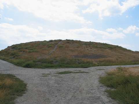 |
|
Type:
|
Mound |
|
Altitude:
|
535 m |
|
Region:
|
Black Sea |
|
Province:
|
Amasya |
|
District:
|
Suluova |
|
Village:
|
Merkez |
|
Investigation Method:
|
Survey |
|
Period:
|
|
|
|
|
 |
|
| It lies in the Hacihayta Quarter located south of Suluova District; northwest of Amasya Province. It measures around 7-8 m in height, and 100x80 m in dimensions. It was first surveyed by H. Frankfort, and then visited by K. Kökten, N. Özgüç and T. Özgüç. Recently, it was surveyed again by S. Dönmez, who collected sherds from the Early Bronze Age, Middle Bronze Age and Iron Age from the surface. It takes place in the registered archaeological sites list prepared by Ministry of Culture and Tourism. |
| Location: |
| Geography and Environment: |
| History: |
| Research and Excavation: |
| Stratigraphy: |
| Small Finds: |
| Remains: |
| Interpretation and Dating: |