|
©The Archaeological Settlements of Turkey - TAY Project
|
|
|
|
|
|
Alevi Tepe / Kümbettepe |
|
|
For site maps and drawings please click on the picture...  |
For photographs please click on the photo... 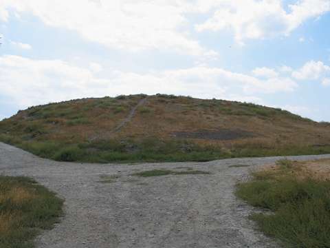 |
|
Type:
|
Mound |
|
Altitude:
|
535 m |
|
Region:
|
Black Sea |
|
Province:
|
Amasya |
|
District:
|
Suluova |
|
Village:
|
Merkez |
|
Investigation Method:
|
Survey |
|
Period:
|
|
|
|
|
 |
|
| It lies in the Hacihayta Quarter located south of Suluova District; northwest of Amasya Province. It is also known as Kümbettepe. It was discovered by von der Osten; and introduced by H. Frankfort. Furthermore; it was investigated by T. Özgüç; K. Kökten and by M. Özsait in 1987 and by S. Dönmez in 1998. It measures 7-8 m in height and 100x80 m in dimensions. Materials of the EBA; the MBA and the Iron Age were recovered during the surface collection. Gray and black colored pottery similar to the EBA pottery of Ahlatlibel was also recovered. It takes place in the registered archaeological sites list prepared by Ministry of Culture and Tourism. |
| Location: |
| Geography and Environment: |
| History: |
| Research and Excavation: |
| Stratigraphy: |
| Small Finds: |
| Remains: |
| Interpretation and Dating: |