| ©The Archaeological Settlements of Turkey - TAY Project | ||||||
|
|
||||||
Harabe Hulik |
||||||
|
|
||||||
| Ages | Maps | Photos | ||||
| EBA IA |
 |
 |
||||
|
|
||||||
|
Type:
|
Flat Settlement | |||||
|
Altitude:
|
1050 m | |||||
|
Diameter:
|
m- Direction: | |||||
|
|
||||||
|
Region:
|
Eastern Anatolia | |||||
|
Province:
|
Bitlis | |||||
|
District:
|
Ahlat | |||||
|
Village:
|
Otluyazi | |||||
|
|
||||||
|
Destruction :
|
Natural causes - Agriculture - Attention | |||||
|
|
||||||
|
TAYEx:
|
Visited - 7/7/2003 | |||||
|
|
||||||
|
Registration State:
|
For detailed registration information please refer to Turkish pages. | |||||
 |
||||||
| Location: |
| Geography and Environment: |
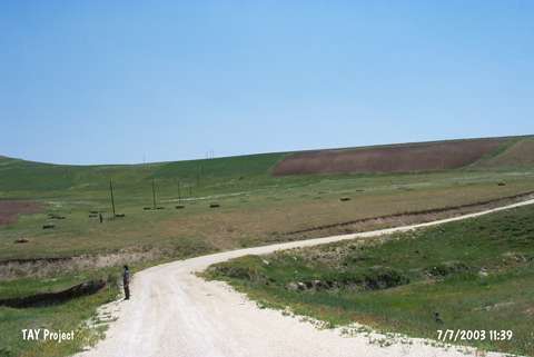
| Destruction Details: The settlement has been damaged by agricultural activities and its eastern slope has been eroded by Karagöller Stream. There are telephone poles on top hill [TAYEx 7.7.2003]. |