|
©The Archaeological Settlements of Turkey - TAY Project
|
|
|
|
|
|
Harabe Hulik |
|
|
For site maps and drawings please click on the picture...  |
For photographs please click on the photo... 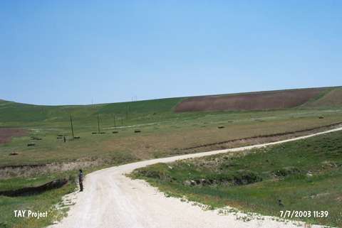 |
|
Type:
|
Flat Settlement |
|
Altitude:
|
1050 m |
|
Region:
|
Eastern Anatolia |
|
Province:
|
Bitlis |
|
District:
|
Ahlat |
|
Village:
|
Otluyazi |
|
Investigation Method:
|
Survey |
|
Period:
|
|
|
|
|
 |
|
| It lies about 2.9 km northeast of Otluyazi Village in the Atom Plateau; northeast of Ahlat-Ovakisla; northwest of Ahlat; north-northeast of Bitlis Province. It is located on the eastern slope facing the Karagöller Stream. The village road of Otluyazi-Yogurtyemez passes from the southwest. It is surrounded by the remains from the Middle Age. Samples of the Early Transcaucasian ware as well as the Middle Iron Age material were collected in 1997 by A. Özfirat. It is highlighted by A. Özfirat that the presence of an EBA settlement on a plateau with such a high altitude is amazing. |
| Location: |
| Geography and Environment: |
| History: |
| Research and Excavation: |
| Stratigraphy: |
| Small Finds: |
| Remains: |
| Interpretation and Dating: |