|
©The Archaeological Settlements of Turkey - TAY Project
|
|
|
|
|
|
Harabe Hulik |
|
|
For site maps and drawings please click on the picture...  |
For photographs please click on the photo... 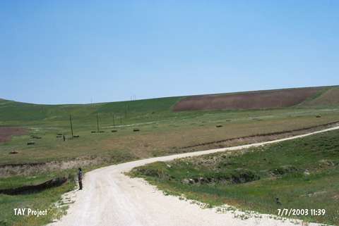 |
|
Type:
|
Flat Settlement |
|
Altitude:
|
1050 m |
|
Region:
|
Eastern Anatolia |
|
Province:
|
Bitlis |
|
District:
|
Ahlat |
|
Village:
|
Otluyazi |
|
Investigation Method:
|
Survey |
|
Period:
|
Middle Iron Age |
|
|
|
 |
|
| It is located on the left slope of the Karagöller Stream and on the southern skirt of the Atom Upland to the northeast of Ovakisla, approximately 2 km far from the Otluyazi Village resting on the southern skirt of the Atom Uplands in the Ahlat District of Bitlis. Sherds dating to the Early Transcausasian, Middle Iron Age and Middle Age are found on the Harabe Hulik Hill. |
| Location: |
| Geography and Environment: |
| History: |
| Research and Excavation: |
| Stratigraphy: |
| Small Finds: |
| Remains: |
| Interpretation and Dating: |