| ©The Archaeological Settlements of Turkey - TAY Project | ||||||
|
|
||||||
Hacimusalar / Beyler |
||||||
|
|
||||||
| Ages | Maps | Photos | ||||
| Neolithic Chalcolithic EBA |
 |
 |
||||
|
|
||||||
|
Type:
|
Mound | |||||
|
Altitude:
|
1070 m | |||||
|
Diameter:
|
m- Direction: | |||||
|
|
||||||
|
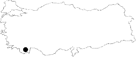
Region:
|
Mediterranean | |||||
|
Province:
|
Antalya | |||||
|
District:
|
Elmali | |||||
|
Village:
|
Beyler | |||||
|
|
||||||
|
|
||||||
|
|
||||||
|
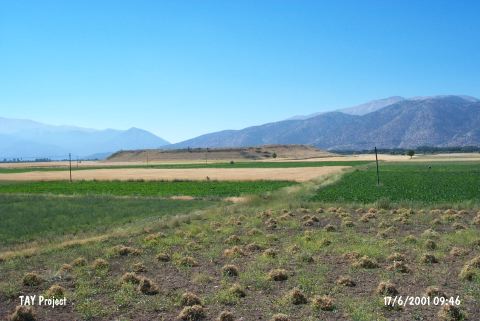
TAYEx:
|
Visited - 17/6/2001 | |||||
|
|
||||||
|
Registration State:
|
Registered For detailed registration information please refer to Turkish pages. | |||||
 |
||||||
| Location: Hacimusalar lies in the Antalya Province; 15-20 km southwest of the town of Elmali; southeast of the road between the villages of Beyler and Hacimusalar; 300 m away from Hacimusalar Village. It is located on Elmali Plain and also known as Beyler Höyük. |
| Geography and Environment: The mound which is 300x350x13 m in size lies along an old lake; in a fertile plain [Gates 1996:315]. |
| Destruction Details: |