|
©The Archaeological Settlements of Turkey - TAY Project
|
|
|
|
|
|
Hacimusalar / Beyler |
|
|
For site maps and drawings please click on the picture... 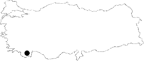 |
For photographs please click on the photo... 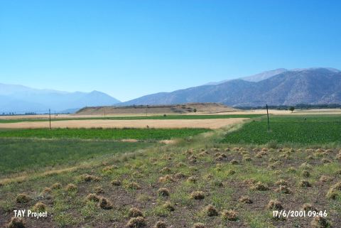 |
|
Type:
|
Mound |
|
Altitude:
|
1070 m |
|
Region:
|
Mediterranean |
|
Province:
|
Antalya |
|
District:
|
Elmali |
|
Village:
|
Beyler |
|
Investigation Method:
|
Excavation |
|
Period:
|
EBA I EBA II |
|
|
|
 |
|
| Location: Hacimusalar lies in the Antalya Province; 15-20 km southwest of the town of Elmali; southeast of the road between the villages of Beyler and Hacimusalar; 300 m away from Hacimusalar Village. It is located on Elmali Plain and also known as Beyler Höyük. |
| Geography and Environment: The mound which is 300x350x13 m in size lies along an old lake; in a fertile plain [Gates 1996:315]. |
| History: |
| Research and Excavation: The site was discovered in 1949 by M.S.F. Hood and M. Mellink. Hood's survey yielded one Neolithic ceramic fragment [Eslick 1992:63]. It is also mentioned among the EBA I and II settlements by J. Mellaart. Excavations at the site began under the direction of I. Özgen of Bilkent University in 1994. It takes place in the registered archaeological sites list prepared by Ministry of Culture and Tourism. |
| Stratigraphy: Excavations on the mound have concentrated in five areas: The Western Slope (mainly Early Bronze Age levels); The Northern Rim (the early city wall; Iron Age-Roman levels); The Eastern Slope (the early and late city walls; Roman levels); The Central Area (the "Central Building" and stratigraphic probe Classical-late Roman) and The Byzantine Cathedral [Garrison et al. 2001]. |
| Small Finds: Sherds collected on the surface of mound in 1993 suggested that the mound contained a significant EBA deposit. The heaviest concentration of this EBA material lay on the western slope of the mound. In order to know the depth of the EBA deposits on the mound; trenches of D1b10; D2b2; D2c3; D2b4; D2c5 and D2b6 are opened running from the bottom to the top of the western slope of the mound. Directly under topsoil in the trenches near the foot of the slope encountered EBA levels. This continued to be the case all the way up the slope almost to the top of the mound. Although the horizontal exposure of the EBA levels in this area of the mound is in fact relatively small; excavations have revealed an exceptionally clear sequence of architectural phases. In each architectural phase there occurs a building (probably rectangular) oriented approximately northwest-southeast. The complete ground-plan of any one of these structures is not revealed; but the architecture visible to date suggests here a sequence of "megaron-" like structures similar to what has been documented at other EBA sites in western Anatolia; including Troy. The finds from these architectural phases is uniformly EBA. It includes typical EBA red-burnished and black-burnished pottery; terracotta figures; etc. The discovery of a seal; in addition to architecture; hints at complex administrative activities on the site [Garrison et al. 2001]. In 2007, four trenches on the north slope investigated the EB levels. The area was much eroded but stone wall foundations were brought to light, as well as daub fragments with reed impressions from wattle and daub construction. There appears to have been a potter's workshop here, as a kiln and quantities of pottery were found. Other finds included spindle whorls, loomweights and bronze pins. The deposits here rest on an alluvial pebbly surface, perhaps originally a stream bed [http://cat.une.edu.au/page/hacimusalar; 24.11.2009, 11:43]. |
| Remains: |
| Interpretation and Dating: |