|
©The Archaeological Settlements of Turkey - TAY Project
|
|
|
|
|
|
Hacimusalar / Beyler |
|
|
For site maps and drawings please click on the picture... 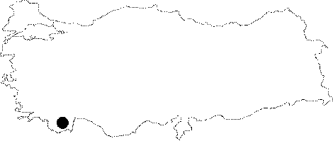 |
For photographs please click on the photo... 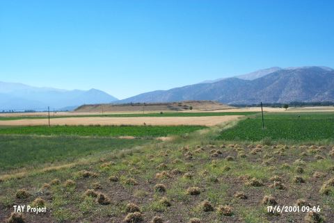 |
|
Type:
|
Mound |
|
Altitude:
|
1070 m |
|
Region:
|
Mediterranean |
|
Province:
|
Antalya |
|
District:
|
Elmali |
|
Village:
|
Beyler |
|
Investigation Method:
|
Excavation |
|
Period:
|
Ceramic |
|
|
|
 |
|
| Location: Hacimusalar lies in the Antalya Province; 15-20 km southwest of the town of Elmali; southeast of the road between the villages of Beyler and Hacimusalar; 300 m away from Hacimusalar Village. It is located on Elmali Plain and also known as Beyler Höyük. |
| Geography and Environment: The mound which is 300x350x13 m in size lies along an old lake; in a fertile plain [Gates 1996:315]. |
| History: |
| Research and Excavation: The site was discovered in 1949 by M.S.F. Hood and M. Mellink. Hood's survey yielded one Neolithic ceramic fragment [Eslick 1992:63]. It is also mentioned among the EBA I and II settlements by J. Mellaart. Excavations at the site began under the direction of I. Özgen of Bilkent University in 1994. It takes place in the registered archaeological sites list prepared by Ministry of Culture and Tourism. |
| Stratigraphy: The mound yielded finds dating from the Late Neolithic-Early Chalcolithic to the Byzantine Period. It is suggested that continuing excavations at the EBA layers on the western slope are going to help to determine the date of the earliest occupation levels [Garrison et al. 2001]. |
| Small Finds: The surface surveys yielded one ceramic fragment that is Neolithic in date. This suggests that the Neolithic-Early Chalcolithic settlement does not lie immediately beneath the Early Bronze Age mound but nearby; and that these earlier levels have since been covered by erosional deposits [Yakar 1991:127]. The recently begun excavations have yielded additional Late Neolithic-Early Chalcolithic material [Gates 1996:315]. |
| Remains: |
| Interpretation and Dating: |