| ©The Archaeological Settlements of Turkey - TAY Project | ||||||
|
|
||||||
Hacilar |
||||||
|
|
||||||
| Ages | Maps | Photos | ||||
| Neolithic Chalcolithic 14C |
 |
 |
||||
|
|
||||||
|
Type:
|
Mound | |||||
|
Altitude:
|
920 m | |||||
|
Diameter:
|
m- Direction: | |||||
|
|
||||||
|
Region:
|
Mediterranean | |||||
|
Province:
|
Burdur | |||||
|
District:
|
Merkez | |||||
|
Village:
|
Hacilar | |||||
|
|
||||||
|
Destruction :
|
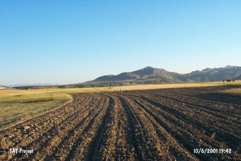
Agriculture | |||||
|
|
||||||
|
TAYEx:
|
Visited - 10/6/2001 | |||||
|
|
||||||
|
Registration State:
|
Registered For detailed registration information please refer to Turkish pages. | |||||
 |
||||||
| Location: The site is located 26.5 km southwest of the city of Burdur and 1.5 km west of the village of Hacilar. |
| Geography and Environment: The site lies in a valley 940/970 m above sea level along the northern flanks of the Taurus Mountains. The valley is 100 m above the level of Burdur Lake. The eastern part of the valley faces the Taurus mountains. The mound; which lies east of Koca Stream; has a 135 m diameter and is 5 m high [Mellaart 1970a:xii;189]. The Aceramic Neolithic settlement at Hacilar is the earliest settlement at the site. O. Erol's research in the area determined that these first inhabitants came to the area after Burdur Lake receded to 930-935 m [Erol 1972:35]. |
| Destruction Details: It is completely planted and the trenches vanished because of agricultural activities [TAYEx 10.6.2001]. |