|
|
||||
|
|
||||
|
Solteni Magarasi |
||||
|
For cave maps and drawings please click on the picture... |
For photographs please click on the photo... |
|||
|
 |
|||
|
Type: |
Cave | |||
|
Altitude: |
m | |||
|
Depth: |
m | |||
|
Length: |
m | |||
|
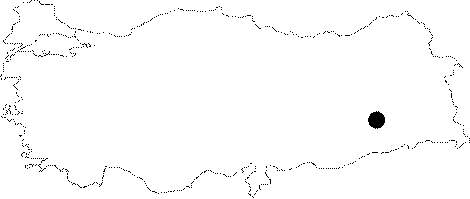
Region: |
Southeastern Anatolia | |||
|
Province: |
Diyarbakir | |||
|
District: |
Silvan | |||
|
Village: |
Kazandagi | |||
|
|
||||
 |
||||
| Location: This cave-site is north of the city of Diyarbakir; 9 km northwest of the Batman Dam. It is located on the cliff almost exactly across from the Malaliki rock-shelter; on the western bank of one of the southwestern streams feeding the Ramdenka Stream; by the village of Hokan. |
| Structural Properties and formation : |
| Research History: It was found during the survey carried out to determine the prehistoric settlements that would have been flooded by the lake waters of the Batman Dam included in a series of dams that would be constructed on the Tigris River and its branches under the Southeastern Anatolia Project of M. Rosenberg in 1990. |
| Findings: It has been listed in the settlements of the Middle Palaeolithic Age among other settlements in the region. |