| ©The Archaeological Settlements of Turkey - TAY Project | ||||||
|
|
||||||
Solteni Magarasi |
||||||
|
|
||||||
| Ages | Maps | Photos | ||||
| Palaeolithic/Epipalaeolithic |
 |
 |
||||
|
|
||||||
|
Type:
|
Cave | |||||
|
Altitude:
|
m | |||||
|
Diameter:
|
m- Direction: | |||||
|
|
||||||
|
Region:
|
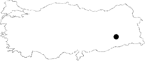
Southeastern Anatolia | |||||
|
Province:
|
Diyarbakir | |||||
|
District:
|
Silvan | |||||
|
Village:
|
Kazandagi | |||||
|
|
||||||
|
|
||||||
|
|
||||||
|
TAYEx:
|
Not visited - 23/9/2001 | |||||
|
|
||||||
|
Registration State:
|
For detailed registration information please refer to Turkish pages. | |||||
 |
||||||
| Location: This cave-site is north of the city of Diyarbakir; 9 km northwest of the Batman Dam. It is located on the cliff almost exactly across from the Malaliki rock-shelter; on the western bank of one of the southwestern streams feeding the Ramdenka Stream; by the village of Hokan. |
| Geography and Environment: Rosenberg has not reported what the dimensions of this cave are. We are informed that this site is not as important as the Malaliki rock-shelter. |
| Destruction Details: |