| ©The Archaeological Settlements of Turkey - TAY Project | ||||||
|
|
||||||
Girçay / Gerçayiri |
||||||
|
|
||||||
| Ages | Maps | Photos | ||||
| EBA IA |
 |
 |
||||
|
|
||||||
|
Type:
|
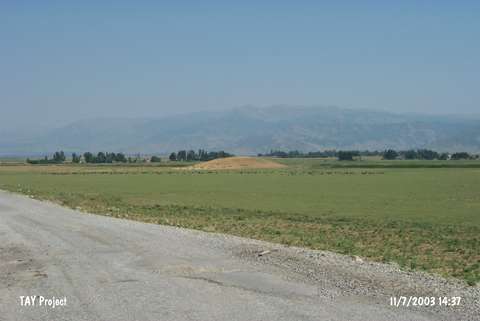
Mound | |||||
|
Altitude:
|
1400 m | |||||
|
Diameter:
|
120 m- Direction: W-E | |||||
|
|
||||||
|
Region:
|
Eastern Anatolia | |||||
|
Province:
|
Mus | |||||
|
District:
|
Merkez | |||||
|
Village:
|
Gerçayiri | |||||
|
|
||||||
|
Destruction :
|
Illicit Digging | |||||
|
|
||||||
|
TAYEx:
|
Visited - 11/7/2003 | |||||
|
|
||||||
|
Registration State:
|
For detailed registration information please refer to Turkish pages. | |||||
 |
||||||
| Location: |
| Geography and Environment: |
| Destruction Details: Illicit diggings have damaged the mound. There are pits on top hill; north-northeast and west slopes. Southeast skirt has been cut by railroad [TAYEx 11.7.2003]. |