|
©The Archaeological Settlements of Turkey - TAY Project
|
|
|
|
|
|
Girçay / Gerçayiri |
|
|
For site maps and drawings please click on the picture...  |
For photographs please click on the photo... 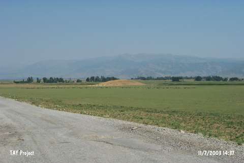 |
|
Type:
|
Mound |
|
Altitude:
|
1400 m |
|
Region:
|
Eastern Anatolia |
|
Province:
|
Mus |
|
District:
|
Merkez |
|
Village:
|
Gerçayiri |
|
Investigation Method:
|
Survey |
|
Period:
|
|
|
|
|
 |
|
| It is located 2.3 km south-southeast of Kümbet Yunus Emre Primary School; close to Gercayiri (Girçay) Village; southern part of the Mus Plain; east of Mus Province. Tatvan-Mus railroad passes on south skirt of the mound. West of the site Kapili and south of it Güdeyik villages take place. It was discovered during the survey conducted due to the construction of the Alparslan Dam in the Mus Plain by M.S. Rothman. Sherds which can be evaluated in the Kura-Aras Culture were collected from the surface. |
| Location: |
| Geography and Environment: |
| History: |
| Research and Excavation: |
| Stratigraphy: |
| Small Finds: |
| Remains: |
| Interpretation and Dating: |