| ©The Archaeological Settlements of Turkey - TAY Project | ||||||
|
|
||||||
Gazi Mürsel Tepesi |
||||||
|
|
||||||
| Ages | Maps | Photos | ||||
| EBA |
 |
 |
||||
|
|
||||||
|
Type:
|
Mound | |||||
|
Altitude:
|
200 m | |||||
|
Diameter:
|
m- Direction: | |||||
|
|
||||||
|
Region:
|
Mediterranean | |||||
|
Province:
|
Hatay | |||||
|
District:
|
Reyhanli | |||||
|
Village:
|
Üçtepe | |||||
|
|
||||||
|
Destruction :
|
Agriculture - Contemporary Settlements - Attention | |||||
|
|
||||||
|
TAYEx:
|
Visited - 16/7/2001 | |||||
|
|
||||||
|
Registration State:
|
For detailed registration information please refer to Turkish pages. | |||||
 |
||||||
| Location: |
| Geography and Environment: |
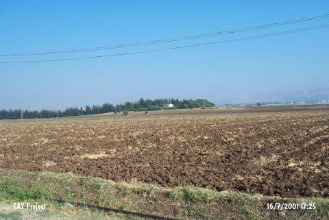
| Destruction Details: The mound has been damaged due to agricultural activities and illicit diggings. There is a farm on southwest part of the mound and the rest is cultivated [TAYEx 16.7.2001]. |