|
©The Archaeological Settlements of Turkey - TAY Project
|
|
|
|
|
|
Gazi Mürsel Tepesi |
|
|
For site maps and drawings please click on the picture...  |
For photographs please click on the photo... 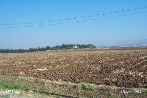 |
|
Type:
|
Mound |
|
Altitude:
|
200 m |
|
Region:
|
Mediterranean |
|
Province:
|
Hatay |
|
District:
|
Reyhanli |
|
Village:
|
Üçtepe |
|
Investigation Method:
|
Survey |
|
Period:
|
|
|
|
|
 |
|
| It lies east of the village of Üçtepe; northwest of Reyhanli District o Hatay Province. It is a small; shallow mound lying in east-west direction. Northeast of it passes the Hatay-Reyhanli motorway. It was discovered by R.J. Braidwood and dated to EBA. |
| Location: |
| Geography and Environment: |
| History: |
| Research and Excavation: |
| Stratigraphy: |
| Small Finds: |
| Remains: |
| Interpretation and Dating: |