| ©The Archaeological Settlements of Turkey - TAY Project | ||||||
|
|
||||||
Esikçitepe |
||||||
|
|
||||||
| Ages | Maps | Photos | ||||
| EBA IA |
 |
 |
||||
|
|
||||||
|
Type:
|
Mound | |||||
|
Altitude:
|
30 m | |||||
|
Diameter:
|
150 m- Direction: E-W | |||||
|
|
||||||
|
Region:
|
Marmara | |||||
|
Province:
|
Balikesir | |||||
|
District:
|
Burhaniye | |||||
|
Village:
|
||||||
|
|
||||||
|
Destruction :
|
Agriculture - Contemporary Settlements - Attention | |||||
|
|
||||||
|
TAYEx:
|
Visited - 7/9/2000 | |||||
|
|
||||||
|
Registration State:
|
For detailed registration information please refer to Turkish pages. | |||||
 |
||||||
| Location: |
| Geography and Environment: |
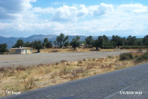
| Destruction Details: The mound is covered with olive trees. The northern skirt was cut and a single-storey structure which is probably used for whole sale purchasing station of the beed harvest has been built. There are also a small farm house; a stable; and a hayloft on the settlement [TAYEx 7.9.2000]. |