|
©The Archaeological Settlements of Turkey - TAY Project
|
|
|
|
|
|
Esikçitepe |
|
|
For site maps and drawings please click on the picture...  |
For photographs please click on the photo... 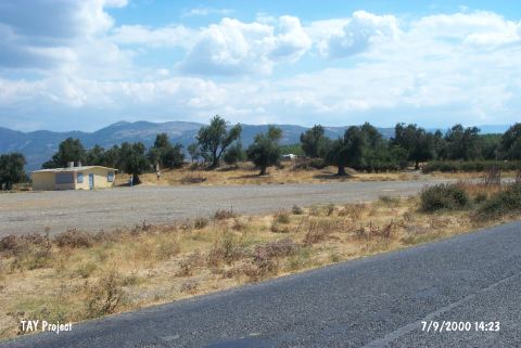 |
|
Type:
|
Mound |
|
Altitude:
|
30 m |
|
Region:
|
Marmara |
|
Province:
|
Balikesir |
|
District:
|
Burhaniye |
|
Village:
|
|
|
Investigation Method:
|
Survey |
|
Period:
|
|
|
|
|
 |
|
| It lies south of the Havran Stream; 2.4 km southeast of Burhaniye District; Balikesir Province. To the west of it is the old Burhaniye-Ayvalik motorway. It is a very wide and flat mound with a terrace on the north. At present; there are a few houses and olive trees on the top hill. It was discovered in 1987 during the Balikesir Survey conducted by M. Özdogan. EBA and Antique Age materials were collected from the surface. Code K 5/2. |
| Location: |
| Geography and Environment: |
| History: |
| Research and Excavation: |
| Stratigraphy: |
| Small Finds: |
| Remains: |
| Interpretation and Dating: |