| ©The Archaeological Settlements of Turkey - TAY Project | ||||||
|
|
||||||
Akin Höyük |
||||||
|
|
||||||
| Ages | Maps | Photos | ||||
| EBA |
 |
 |
||||
|
|
||||||
|
Type:
|
Mound | |||||
|
Altitude:
|
1005 m | |||||
|
Diameter:
|
115 m- Direction: | |||||
|
|
||||||
|
Region:
|
Central Anatolia | |||||
|
Province:
|
Eskisehir | |||||
|
District:
|
Seyitgazi | |||||
|
Village:
|
Akin | |||||
|
|
||||||
|
Destruction :
|
Dams - Attention | |||||
|
|
||||||
|
TAYEx:
|
Visited - 21/6/2002 | |||||
|
|
||||||
|
Registration State:
|
Registered For detailed registration information please refer to Turkish pages. | |||||
 |
||||||
| Location: |
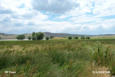
| Geography and Environment: |
| Destruction Details: The mound is being destructed because of remaining in dam reservoir area [TAYEx 21.6.2002]. |