|
©The Archaeological Settlements of Turkey - TAY Project
|
|
|
|
|
|
Akin Höyük |
|
|
For site maps and drawings please click on the picture...  |
For photographs please click on the photo... 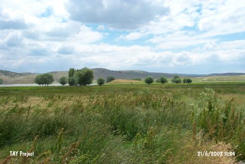 |
|
Type:
|
Mound |
|
Altitude:
|
1005 m |
|
Region:
|
Central Anatolia |
|
Province:
|
Eskisehir |
|
District:
|
Seyitgazi |
|
Village:
|
Akin |
|
Investigation Method:
|
Survey |
|
Period:
|
EBA II EBA III |
|
|
|
 |
|
| It lies immediately east of Akin Village; southwest of Seyitgazi; southeast of Eskisehir Province. East of the mound Kunduzlar Dam and west of it swamp takes place. Dam reservoir encircles the mound depending on season. It is approximately 20 m in height. It was discovered in 1993 by T. Efe. No measurement is given. Samples of pottery dating from the EBA II-III and the second millennium BC were collected from the surface. It takes place in the registered archaeological sites list prepared by Ministry of Culture and Tourism. |
| Location: |
| Geography and Environment: |
| History: |
| Research and Excavation: |
| Stratigraphy: |
| Small Finds: |
| Remains: |
| Interpretation and Dating: |