| ©The Archaeological Settlements of Turkey - TAY Project | ||||||
|
|
||||||
Maltepe / Egret |
||||||
|
|
||||||
| Ages | Maps | Photos | ||||
| EBA |
 |
 |
||||
|
|
||||||
|
Type:
|
Mound | |||||
|
Altitude:
|
1080 m | |||||
|
Diameter:
|
m- Direction: | |||||
|
|
||||||
|
Region:
|
Aegean | |||||
|
Province:
|
Afyonkarahisar | |||||
|
District:
|
Merkez | |||||
|
Village:
|
Anitkaya | |||||
|
|
||||||
|
Destruction :
|
Other - Attention | |||||
|
|
||||||
|
TAYEx:
|
Visited - 2/10/2000 | |||||
|
|
||||||
|
Registration State:
|
Registered For detailed registration information please refer to Turkish pages. | |||||
 |
||||||
| Location: |
| Geography and Environment: |
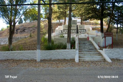
| Destruction Details: The mound is being used a cemetery for soldiers. Its surface was afforested and a concrete platform was constructed. On the western section two illicit digging pits were also observed [TAYEx 2.10.2000]. |