| ©The Archaeological Settlements of Turkey - TAY Project | ||||||
|
|
||||||
Dülük Siginagi |
||||||
|
|
||||||
| Ages | Maps | Photos | ||||
| Palaeolithic/Epipalaeolithic |
 |
 |
||||
|
|
||||||
|
Type:
|
Rock Shelter | |||||
|
Altitude:
|
935 m | |||||
|
Diameter:
|
m- Direction: | |||||
|
|
||||||
|
Region:
|
Southeastern Anatolia | |||||
|
Province:
|
Gaziantep | |||||
|
District:
|
Merkez | |||||
|
Village:
|
Dülük | |||||
|
|
||||||
|
Destruction :
|
Natural causes - Other - Mines/Quarries | |||||
|
|
||||||
|
TAYEx:
|
Visited - 21/8/2001 | |||||
|
|
||||||
|
Registration State:
|
Registered For detailed registration information please refer to Turkish pages. | |||||
 |
||||||
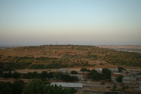
| Location: This is one of the many rock-shelters in the Dülük Valley; 11 km north of Gaziantep. Dülük 1 is situated in the small area on the left side of the road immediately located at the entrance of Dülük Village. |
| Geography and Environment: The dimensions of the rock-shelter and its geological features are not reported. |
| Destruction Details: |