| ©The Archaeological Settlements of Turkey - TAY Project | ||||||
|
|
||||||
Degirmicem |
||||||
|
|
||||||
| Ages | Maps | Photos | ||||
| Palaeolithic/Epipalaeolithic |
 |
 |
||||
|
|
||||||
|
Type:
|
Single Findspot | |||||
|
Altitude:
|
m | |||||
|
Diameter:
|
m- Direction: | |||||
|
|
||||||
|
Region:
|
Southeastern Anatolia | |||||
|
Province:
|
Gaziantep | |||||
|
District:
|
Merkez | |||||
|
Village:
|
Degirmicem | |||||
|
|
||||||
|
|
||||||
|
|
||||||
|
TAYEx:
|
Not visited - 20/8/2001 | |||||
|
|
||||||
|
Registration State:
|
For detailed registration information please refer to Turkish pages. | |||||
 |
||||||
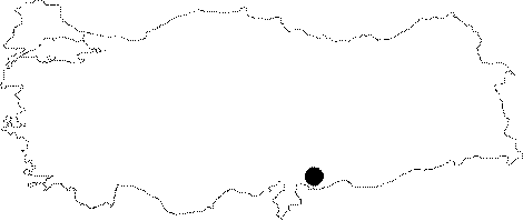
| Location: This site is 2 km northwest of the city of Gaziantep. The exact location of the site is not reported. The schematic map above; which has been copied from the researcher's map; represents the approximate location of the site. |
| Geography and Environment: Although the vegetation around the site; southwest of the undulating Gaziantep Plain is steppe; the plant-life along the rivers and streams contrasts strikingly. This may indicate the vegetation in the Pleistocene was very different. |
| Destruction Details: |