|
©The Archaeological Settlements of Turkey - TAY Project
|
|
|
|
|
|
Degirmicem |
|
|
For site maps and drawings please click on the picture... 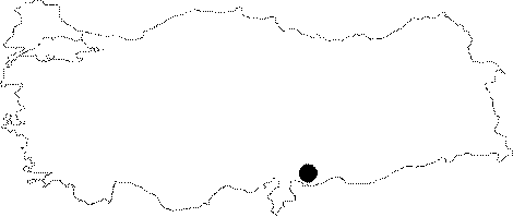 |
For photographs please click on the photo...  |
|
Type:
|
Single Findspot |
|
Altitude:
|
m |
|
Region:
|
Southeastern Anatolia |
|
Province:
|
Gaziantep |
|
District:
|
Merkez |
|
Village:
|
Degirmicem |
|
Investigation Method:
|
Survey |
|
Period:
|
AP |
|
|
|
 |
|
| Location: This site is 2 km northwest of the city of Gaziantep. The exact location of the site is not reported. The schematic map above; which has been copied from the researcher's map; represents the approximate location of the site. |
| Geography and Environment: Although the vegetation around the site; southwest of the undulating Gaziantep Plain is steppe; the plant-life along the rivers and streams contrasts strikingly. This may indicate the vegetation in the Pleistocene was very different. |
| History: |
| Research and Excavation: The site was discovered by Refakat Çiner during her 1950 surface survey of the Gaziantep Region. |
| Stratigraphy: |
| Small Finds: In the district of Degirmicem; Çiner found 8 flint Aucheuléen biface handaxes [Çiner 1958:126]. These tools typologically resemble other Anatolian finds. The site is included among Yalçinkaya's list of Anatolian sites with Clacton type blades and flakes [Yalçinkaya 1990:40]. |
| Remains: |
| Interpretation and Dating: |