| ©The Archaeological Settlements of Turkey - TAY Project | ||||||
|
|
||||||
Abya |
||||||
|
|
||||||
| Ages | Maps | Photos | ||||
| EBA IA |
 |
 |
||||
|
|
||||||
|
Type:
|
Mound | |||||
|
Altitude:
|
1045 m | |||||
|
Diameter:
|
m- Direction: | |||||
|
|
||||||
|
Region:
|
Aegean | |||||
|
Province:
|
Kütahya | |||||
|
District:
|
Altintas | |||||
|
Village:
|
Pinarcik | |||||
|
|
||||||
|
Destruction :
|
Agriculture | |||||
|
|
||||||
|
TAYEx:
|
Visited - 6/7/2004 | |||||
|
|
||||||
|
Registration State:
|
Registered For detailed registration information please refer to Turkish pages. | |||||
 |
||||||
| Location: |
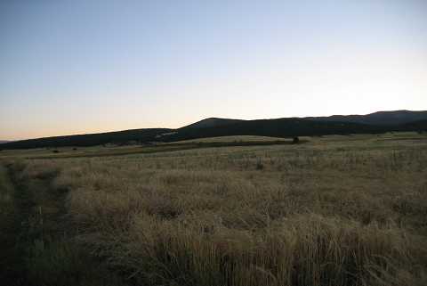
| Geography and Environment: |
| Destruction Details: The surface of the mound is planted and its northwestern skirt was cut to make way for fields [TAYEx 6.7.2004]. |