|
©The Archaeological Settlements of Turkey - TAY Project
|
|
|
|
|
|
Abya |
|
|
For site maps and drawings please click on the picture...  |
For photographs please click on the photo... 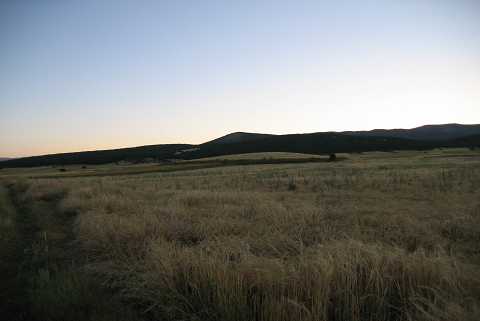 |
|
Type:
|
Mound |
|
Altitude:
|
1045 m |
|
Region:
|
Aegean |
|
Province:
|
Kütahya |
|
District:
|
Altintas |
|
Village:
|
Pinarcik |
|
Investigation Method:
|
Survey |
|
Period:
|
Early Iron Age Middle Iron Age Late Iron Age |
|
|
|
 |
|
| The mound lies within the borders of a settlement from the Classical Period across the road to the northwest of the Abya Village, recently called Pinarcik. It was discovered by T. Efe in 1991 during the surveys conducted in the provinces of Kütahya, Bilecik and Eskişehir. With an intact shape, the mound measures 100 m in width and 6 m in height. The material collected from the surface include samples dating to the Early Bronze Age, 2nd and 1st Millennia B.C. It takes place in the registered archaeological sites list prepared by Ministry of Culture and Tourism. |
| Location: |
| Geography and Environment: |
| History: |
| Research and Excavation: |
| Stratigraphy: |
| Small Finds: |
| Remains: |
| Interpretation and Dating: |